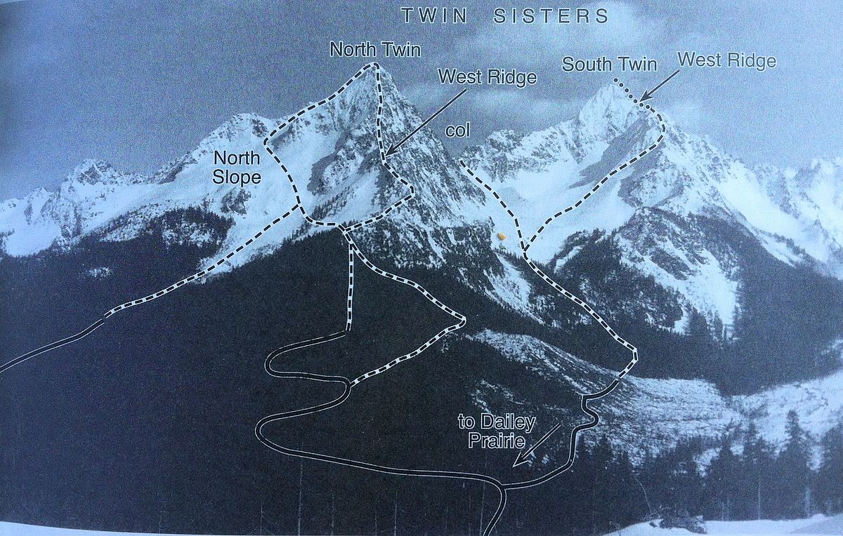
Climbing the North Ridge of Baker earlier this month, I spied a beautiful pair of mountains to the west and wondered what they offered. Paging through the Becky Cascades book, I found out that I was looking at the Twin Sisters and that the rock on the North Twin's West Ridge was exceptionally solid dunite. I logged it away for future reference.
Flash not too far forward to last week...My original climbing plans hit the skids due to the fortunate success of my climbing partner being offered a new job. Looking to climb regardless, I remembered the North Twin. 13 miles round trip, 5,000' of elevation gain and stellar rock seemed like an excellent aerobic consolation prize.
I did some research and--not surprisingly--found a great trip report on Steph Abegg's site (her site is top drawer and has lots of great beta about some classic routes). She mentions (accurately) that the crux of climb is that you have to navigate about many miles of rather dull and confusing logging roads before getting to the more picturesque access trail and the final spectacular ridge.
In total, the climb is 13 miles round trip and about 5200' feet of elevation gain--kind of like a half-marathon with an intriguing interlude midstream. Here is some useful info and thoughts related to the climb:
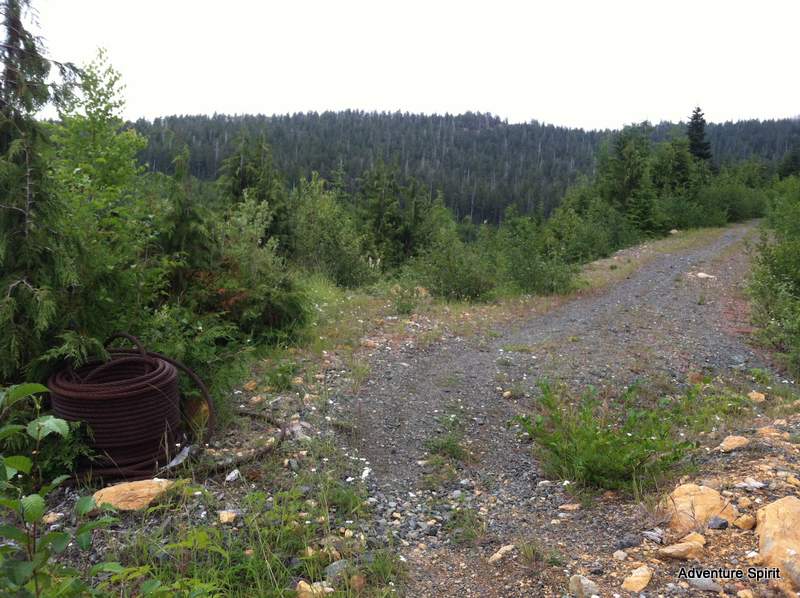
- Forest road 38 is not too hard to find, but it wasn't marked right at the start. As you are heading north on Mosquito Lake Road it is the road that shoots off back and right (east/southeast) right before you hit small bridge over the river.
- Go down FR 38 and when presented with the option to take a high road or a low road when the roads split, take the lower option(s). You'll wind up at a bridge over a river and there's a gate there (and currently a lot of signage about active logging in the area). Don't park past the gate, because it may be locked behind you at any time.
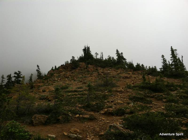
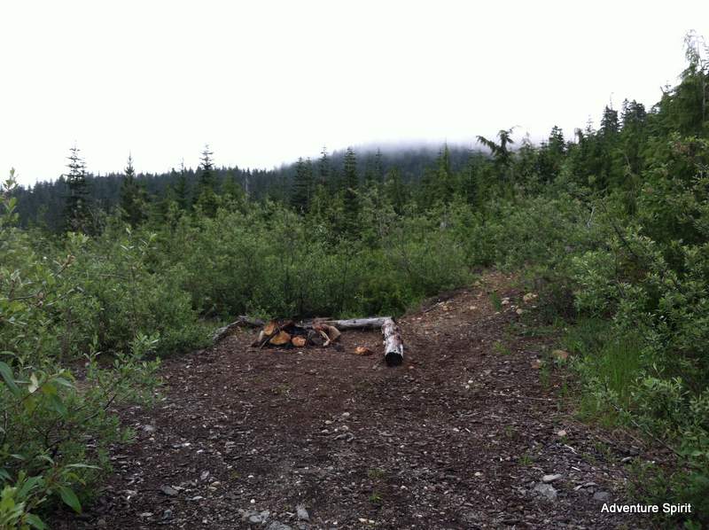
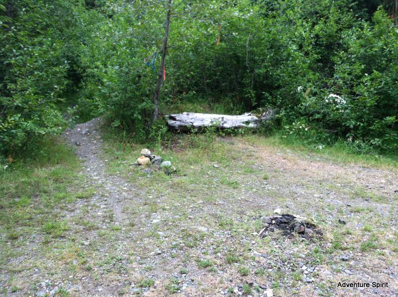
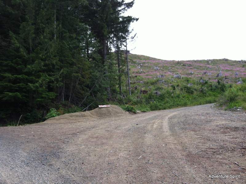
- As noted, the first 4-5 miles of the climb are on rather dull logging roads. This climb is best if A) you're looking for big trail run with a reward in the middle, B) you bike the logging road portions, or C) you did it in the winter/spring when you could ski those roads. I spoke with a trucker working in the area and he seemed to indicate that the snow line is about 3000', so it seems you could access FR 38 and then would only have to carry your skis for 1800' or so (the parking spot is around 1200').
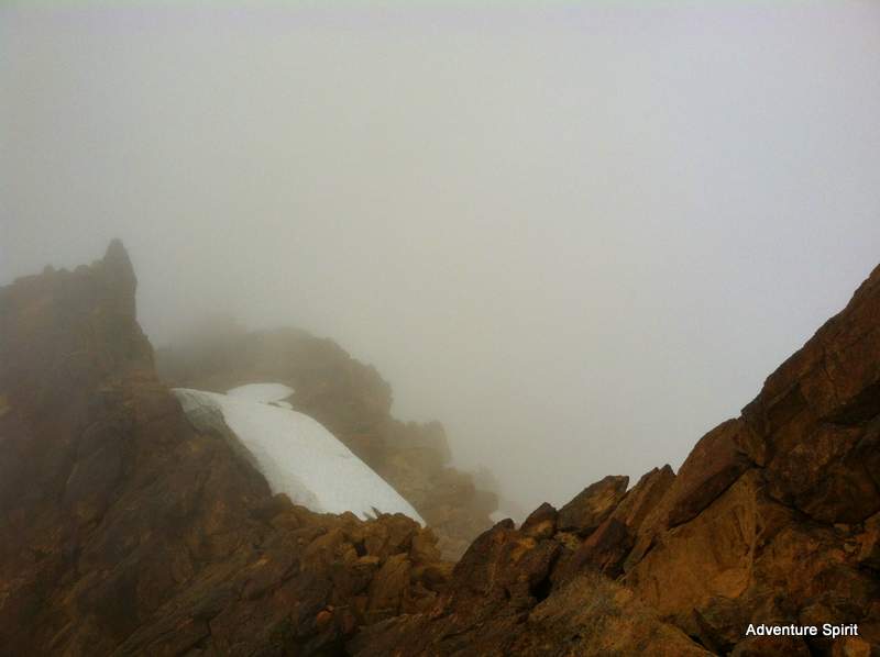
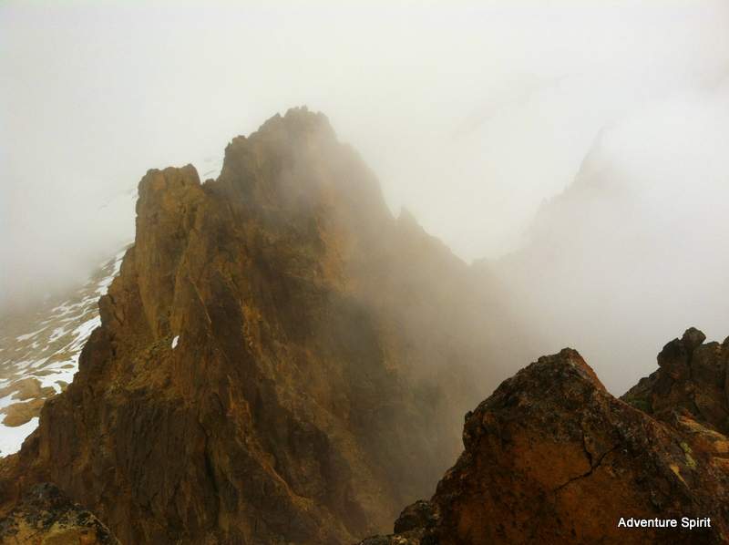
- The climb is rated Class 3-4, but that's if you actually take the ascent/descent trail that doesn't actually follow the crest of the ridge. If you stay on the crest--where the best rock is anyway--the climbing goes into the Class 4-5 range. Generally the trail is on climber's right of the ridge. You can stay on the ridge and then exit right to the trail if you encounter any climbing you're uncomfortable with.
- With good visibility I imagine that navigation would present no problem, but if things are cloudy, people might appreciate bringing a GPS to track their ascent route.
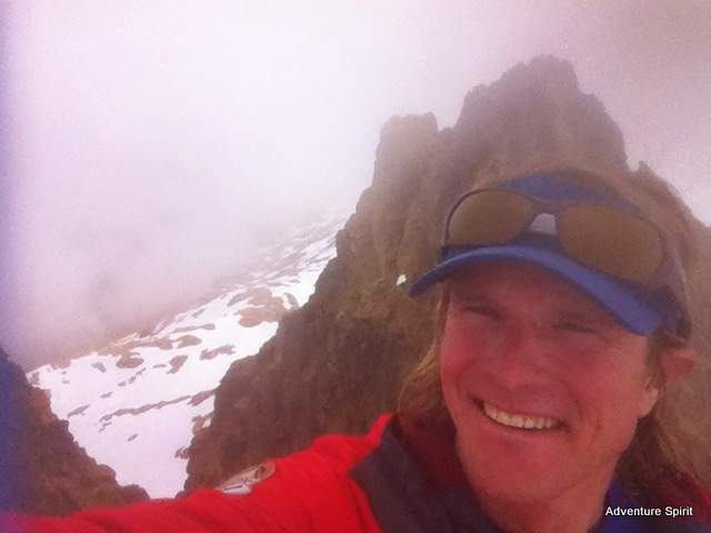
- It took me a bit under 6 hours for the round trip, traveling at a decent clip, dealing with a few navigation questions, and lounging a bit on the summit.
- See photos and captions for additional route info.
As always, more pictures to check out on the Adventure Spirit Rock+Ice+Alpine Experiences Facebook Page.